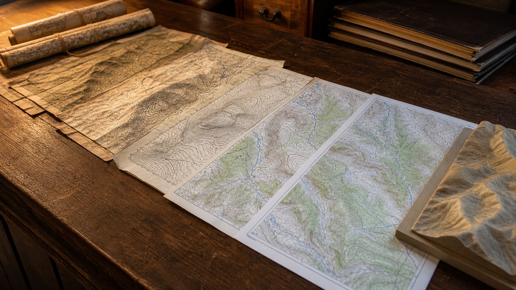
Measuring distance on a topographic map may seem straightforward at first glance, but true accuracy requires more than a ruler and a quick glance at the scale. Topographic maps compress the real world, with all its curves, elevation changes, and irregular paths, onto a flat surface. Learning how to measure distances accurately means understanding not only how far two points are apart on paper, but how terrain, scale, and map design influence what that distance represents in real life. When done correctly, distance measurement becomes a powerful skill for navigation, planning, surveying, and terrain analysis.
Understanding Map Scale as the Foundation
Every accurate distance measurement begins with the map scale. The scale tells you how much real-world distance is represented by a unit of measurement on the map, such as an inch, centimeter, or mile. Large-scale maps cover smaller areas in greater detail, making them ideal for precise measurements, while small-scale maps cover large regions with less detail. Topographic maps often include both a ratio scale and a graphic bar scale, allowing measurements even if the map is resized or reproduced. Understanding which scale you are working with is essential, because every calculation depends on it. A small error at the scale level multiplies quickly across longer distances.
Straight-Line Measurement and Its Limits
The simplest way to measure distance on a topographic map is by drawing a straight line between two points and measuring it with a ruler. This method works well for estimating direct, point-to-point distances, such as the space between two peaks or survey markers. However, straight-line measurements rarely reflect how people or vehicles actually travel across land. Trails, roads, rivers, and ridgelines rarely follow straight paths, and elevation changes can significantly increase real-world travel effort. While straight-line distance provides a useful baseline, it should always be understood as the minimum possible distance rather than the most realistic one.
Measuring Curved Routes with Precision
Most real-world routes curve, twist, and adapt to terrain, making curved-distance measurement essential for accuracy. One common approach is to use a piece of string, flexible ruler, or edge of paper to trace the route carefully along trails, roads, or natural features. Once traced, the length of the string or paper edge is measured against the map scale to determine real-world distance.
This method captures bends and switchbacks that straight-line measurement ignores. Digital tools can automate this process, but the underlying principle remains the same: follow the path as it exists on the map, not as a simplified line between endpoints.
Accounting for Elevation and Terrain Complexity
Topographic maps add a layer of complexity that flat maps do not: elevation. While map distance measures horizontal space, real-world travel often includes vertical gain and loss that increases effort and time. Two routes of equal horizontal distance can feel dramatically different if one climbs steeply while the other remains level. Although traditional distance measurement does not directly account for elevation, experienced map readers use contour lines to anticipate how terrain will affect movement. Closely spaced contours signal steep slopes that slow progress, while widely spaced contours suggest gentler travel. Accurate planning combines measured distance with terrain interpretation.
Using Grid Systems and Coordinates
Many topographic maps include grid systems such as latitude and longitude or projected coordinate grids. These grids provide consistent reference points that can be used to measure distance mathematically. By calculating the difference between coordinate values, users can determine distance without physically measuring on the map. This approach is especially useful for longer distances or when working with precise locations. National mapping agencies like the United States Geological Survey design these grids to maintain consistency and accuracy across regions, making coordinate-based distance measurement reliable and repeatable.
Tools That Improve Accuracy and Reduce Error
Accuracy improves with the right tools and techniques. Clear rulers, map wheels, dividers, and calibrated measuring tools help reduce reading errors. Map wheels, in particular, are designed to roll along curved paths and automatically calculate distance based on scale. Even with basic tools, careful technique matters. Measuring multiple times, averaging results, and double-checking scale interpretation all reduce mistakes. Environmental factors such as worn map edges, folds, or printing distortions should also be considered, especially when working with older or heavily used maps.
Many distance errors come from overlooked details rather than poor math. Misreading the map scale, using the wrong unit conversion, or forgetting that maps may not be perfectly flat all lead to inaccuracies. Another common mistake is assuming distance equals difficulty, ignoring elevation and surface conditions. Successful map users slow down, verify assumptions, and cross-check measurements using multiple methods when accuracy matters. Awareness of these pitfalls is often what separates casual estimates from professional-grade results.
From Measurement to Confident Planning
Measuring distances accurately on topographic maps is ultimately about building confidence in decision-making. Whether planning a hike, designing infrastructure, or analyzing land use, accurate distance measurement informs time estimates, resource planning, and risk assessment. As skills improve, the process becomes intuitive, blending scale awareness, terrain reading, and careful technique into a single workflow. In a world increasingly dominated by digital tools, the ability to measure distance accurately on a paper topographic map remains a timeless and valuable skill, grounding spatial understanding in both precision and insight.