Topographic maps are more than navigational tools; they are visual stories of the Earth’s surface, capturing hills, valleys, ridges, and plains in a precise symbolic language. Learning how to identify landforms on topographic maps transforms those tightly packed lines and symbols into a three-dimensional mental image of the terrain. For hikers, planners, students, surveyors, and map enthusiasts, this skill bridges the gap between abstract lines on paper and the real-world landscape they represent. Mastering landform recognition is not about memorizing symbols alone, but about understanding how elevation, slope, and shape interact across space.
The Language of Contour Lines: How Elevation Is Communicated
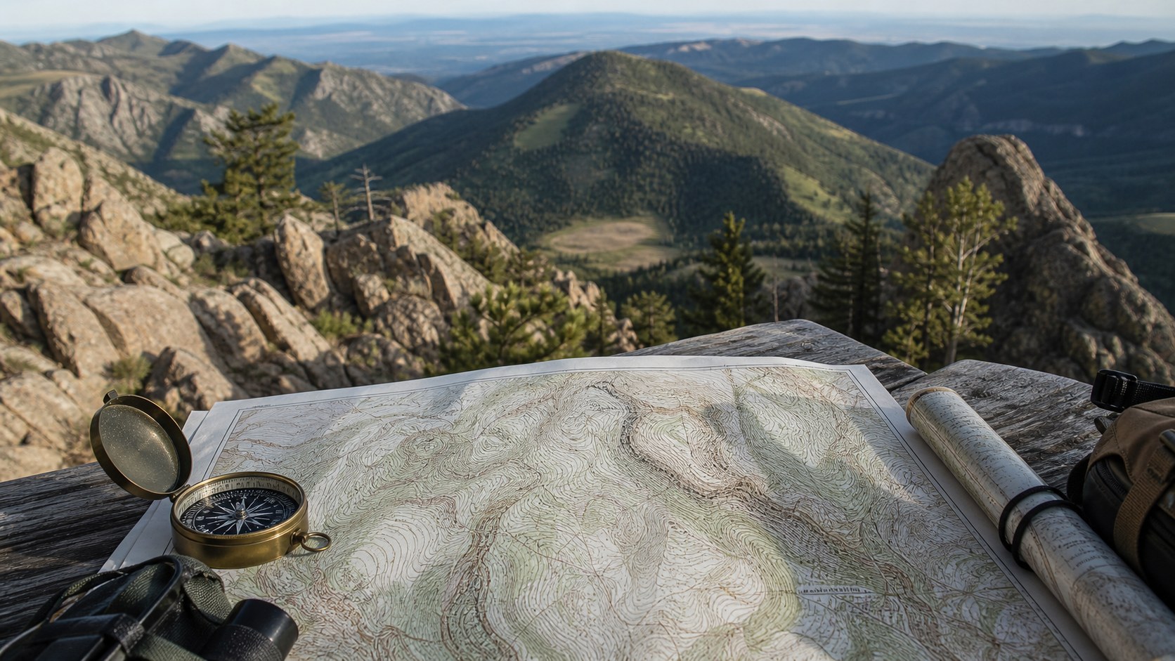
At the heart of every topographic map are contour lines, each representing a constant elevation above sea level. When you understand how these lines behave, the landforms begin to reveal themselves almost instantly. Lines that are spaced far apart indicate gentle slopes, while lines packed tightly together signal steep terrain. Closed loops usually point to hills or depressions, depending on how they are marked, and long, winding contours often trace ridges or valleys. The contour interval, which tells you the vertical distance between each line, is critical because it determines how dramatic or subtle the terrain changes appear on the map. Maps with small contour intervals show fine detail, while larger intervals smooth the landscape into broader shapes.
Hills, Mountains, and Peaks: Spotting High Ground with Confidence
Elevated landforms are among the easiest to identify once you know what to look for. Hills and mountains appear as concentric closed contour lines, with the smallest loop at the highest point. As you move outward from the center, elevation decreases step by step.
Peaks may be labeled with spot elevations, providing an exact height and confirming the summit. The tighter the contour spacing near the top, the steeper the climb would feel in real life. Large mountain systems may show elongated clusters of closed contours, reflecting complex ridges and sub-peaks rather than a single rounded high point.
Valleys, Canyons, and Drainages: Following the Flow of Water
Valleys and canyons are shaped primarily by water, and topographic maps reflect this clearly. Contour lines crossing a stream or river bend into a distinctive V-shape that points upstream, toward higher elevation. This rule is one of the most reliable tools for interpreting terrain. Broad valleys show wide contour spacing and gentle curves, while narrow canyons compress those lines tightly, signaling steep walls and dramatic elevation changes. By tracing these V-shapes repeatedly, you can follow entire drainage systems across a map and understand how water moves through the landscape.
Ridges, Spurs, and Saddles: Reading the High Ground Between Valleys
Ridges are elongated high areas that separate valleys, and on a topographic map they appear as long, narrow patterns of contour lines that form U- or V-shapes pointing downhill. Spurs branch off main ridges and descend into valleys, often appearing as subtle fingers of high ground. Saddles, which are low points between two higher elevations, show up as hourglass-like contour patterns where elevation rises on two opposite sides. These features are especially important for navigation, as they often provide natural routes through mountainous terrain.
Depressions, Basins, and Flatlands: Recognizing Low and Level Terrain
Not all landforms rise above their surroundings. Depressions and basins are enclosed low areas that may collect water or sediment. On topographic maps, these features are indicated by closed contour lines with inward-pointing tick marks, signaling that elevation decreases toward the center. Flatlands, such as plains or plateaus, are marked by widely spaced or nearly absent contour lines, showing minimal elevation change over large areas. Recognizing these subtle patterns helps distinguish truly flat terrain from areas that simply appear calm at first glance.
Identifying landforms accurately requires attention to the map’s scale and supplementary symbols. A small-scale map covers a large area and emphasizes major landforms, while a large-scale map reveals fine terrain details like small knolls or shallow gullies. Colors, shading, and hydrographic symbols add context, showing vegetation, water bodies, and human features that influence how the land is used. Organizations such as the United States Geological Survey have standardized these conventions so that topographic maps can be read consistently across regions and disciplines.
From Map to Mind: Building True Terrain Awareness
The real power of identifying landforms on topographic maps lies in visualization. With practice, the lines and symbols dissolve into a mental model of hills rising, valleys sinking, and ridges stretching across the landscape. This skill improves navigation, deepens geographic understanding, and enhances appreciation for how natural processes shape the Earth. Whether you are planning a route, studying physical geography, or simply enjoying the art of maps, learning to read landforms turns a flat sheet of paper into a living, breathing terrain waiting to be explored.


