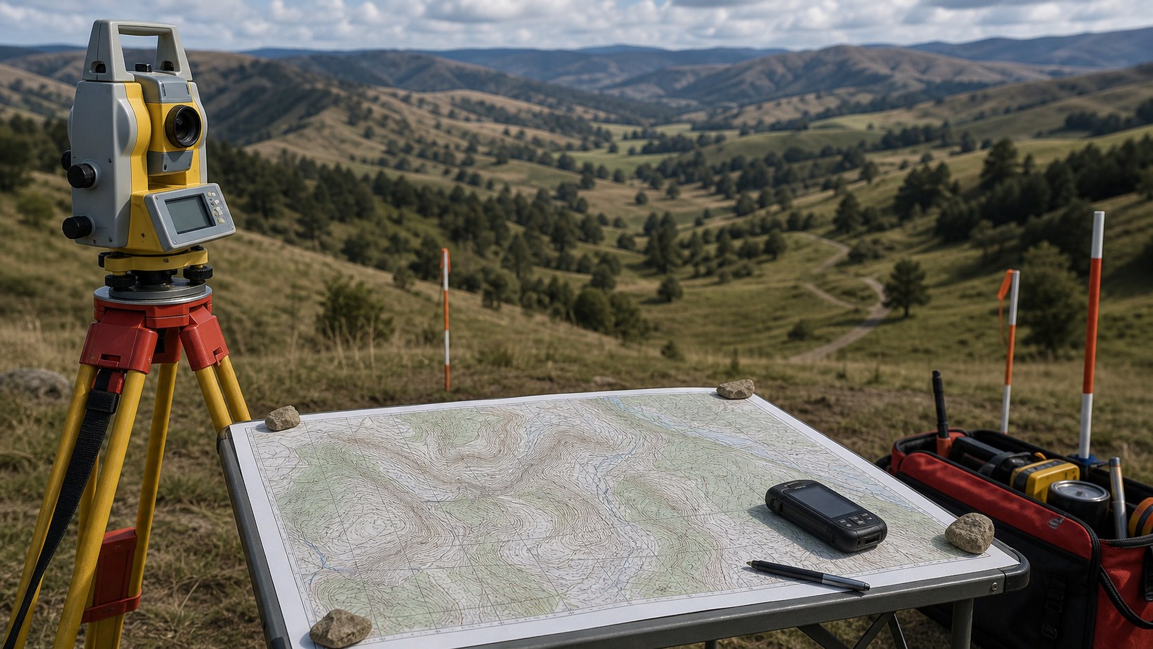
Surveying begins long before a tripod is set or a measurement is taken in the field. Topographic maps give surveyors an early, comprehensive understanding of the land they are about to work on. These maps translate the physical world into a readable framework of elevation, slope, drainage, and landforms, allowing surveyors to visualize terrain without stepping foot on it. By studying contour lines, natural features, and existing infrastructure, surveyors can anticipate challenges, plan efficient workflows, and reduce uncertainty. A topo map becomes a strategic preview of the site, revealing how the land behaves and how it might influence measurements, boundaries, and construction.
Planning Fieldwork with Precision and Purpose
Before any field survey begins, careful planning is essential. Topographic maps help surveyors determine access points, identify stable locations for control points, and assess how elevation changes may affect visibility and line-of-sight measurements. Steep slopes, dense valleys, or elevated ridges can significantly influence where equipment is placed and how data is collected. By analyzing the terrain in advance, surveyors can choose optimal routes across the site, estimate time requirements, and ensure safety for crews. This preparation minimizes surprises in the field and allows surveyors to focus on accuracy rather than improvisation.
Understanding Elevation, Slope, and Surface Behavior
One of the most critical roles of topographic maps in surveying is the interpretation of elevation and slope. Contour lines provide a clear picture of how land rises and falls, which is essential for tasks such as grading, drainage planning, and earthwork calculations. Surveyors use this information to understand how water will move across a site, where erosion may occur, and how changes in elevation could affect future development. Subtle variations in contour spacing can indicate unstable ground, flood-prone areas, or natural terraces, all of which influence surveying decisions and recommendations.
Establishing Control and Reference Frameworks
Accurate surveys rely on well-defined control points that anchor measurements to a consistent reference system. Topographic maps help surveyors identify suitable locations for these points by highlighting stable terrain, clear lines of sight, and known benchmarks. In many regions, standardized topographic maps produced by organizations such as the United States Geological Survey provide reliable elevation data and geodetic references that surveyors can tie into their work. Using these established frameworks ensures that survey results align with regional and national coordinate systems, making data usable across engineering, construction, and planning disciplines.
Boundary Analysis and Land Use Interpretation
Surveyors often work at the intersection of physical terrain and legal boundaries. Topographic maps play a vital role in understanding how natural features relate to property lines, easements, and land-use restrictions. Rivers, ridgelines, and changes in elevation frequently influence boundary descriptions, especially in older deeds and plats. By comparing legal documents with topographic information, surveyors can interpret ambiguous descriptions and identify potential conflicts. The map provides context, showing how abstract legal lines interact with real-world landforms.
Supporting Design, Engineering, and Construction
Topographic maps are essential tools for translating land into buildable plans. Surveyors supply topo-based data to engineers, architects, and planners who rely on accurate terrain information to design roads, buildings, drainage systems, and utilities. Elevation contours guide decisions about grading, foundation placement, and infrastructure alignment. Surveyors often update or refine existing topographic maps with precise field measurements, ensuring that designs reflect current conditions. This collaboration between surveyors and designers depends on the shared language of topography to transform ideas into functional structures.
Bridging Traditional Maps and Modern Technology
While modern surveying uses advanced tools such as GPS, total stations, and LiDAR, topographic maps remain foundational. Surveyors use them to verify digital data, cross-check elevations, and provide a human-readable reference that complements technology. Even when digital models are available, topo maps offer a simplified overview that helps surveyors interpret complex datasets. They act as a bridge between raw measurements and practical understanding, ensuring that technology enhances rather than replaces spatial awareness.
The Enduring Value of Topographic Insight
Topographic maps continue to shape the work of surveyors because they capture the essence of the land in a clear, standardized form. They allow surveyors to anticipate terrain behavior, communicate effectively with other professionals, and ground their measurements in physical reality. As tools evolve, the principles behind topo maps remain unchanged, emphasizing accuracy, consistency, and interpretation. For surveyors, these maps are more than references; they are guides that connect measurement, judgment, and the living landscape itself.


