In a world dominated by smartphones and satellite signals, navigating without GPS can feel like a lost art. Yet long before digital maps and real-time positioning, explorers, surveyors, soldiers, and hikers crossed continents using nothing more than a topographic map and a compass. These tools do not rely on batteries or signals, only on your understanding of terrain, direction, and distance. Learning how to navigate with a topo map and compass is not just a survival skill; it is a deeper way of connecting with the landscape, building confidence, and truly understanding where you are and where you are going.
Understanding the Map Before You Move
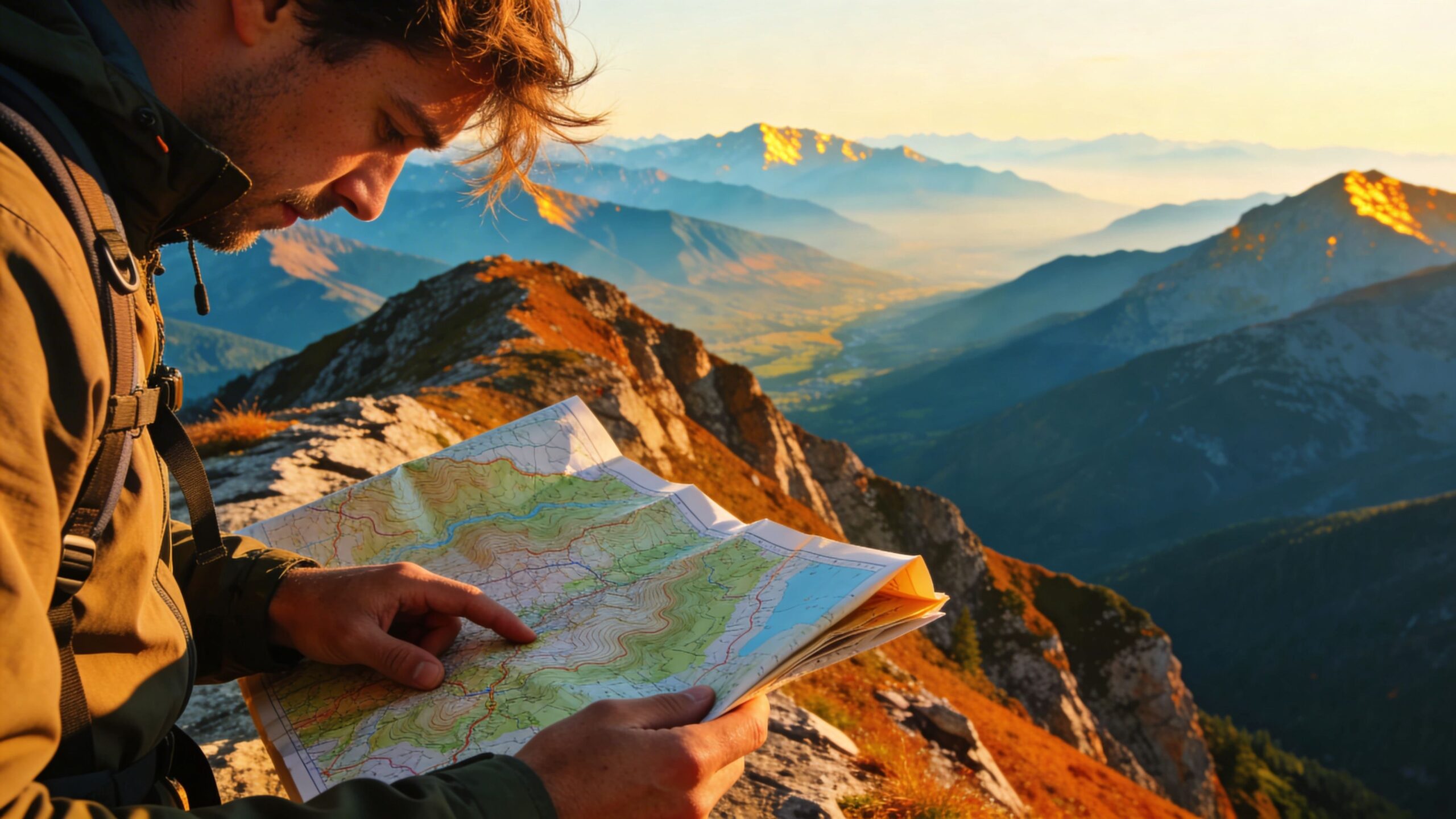
Successful navigation begins before you ever take a step. A topographic map is a detailed portrait of the land, showing elevation, landforms, water features, and human-made elements all in one view. Contour lines reveal the shape of the terrain, indicating hills, valleys, ridges, and depressions. The legend explains symbols for trails, roads, rivers, and boundaries, while the scale tells you how distance on the map translates to distance on the ground. Before navigating, it is essential to orient yourself to the map’s layout, understand the contour interval, and identify prominent features you can recognize in real life. Organizations like the United States Geological Survey have long standardized these maps so that their symbols and conventions remain consistent and reliable wherever you travel.
The Compass as Your Anchor to Direction
A compass provides the directional framework that brings the map to life. At its core, a compass shows you magnetic north, allowing you to align the map with the real world. Understanding the parts of a compass, including the magnetic needle, rotating bezel, and direction-of-travel arrow, is essential for accurate navigation. One critical concept is magnetic declination, the difference between true north and magnetic north, which varies by location. Adjusting for declination ensures that the bearings you take from the map correspond correctly to the terrain around you. When used properly, the compass becomes a stable reference point, keeping you oriented even in dense forests, fog, or unfamiliar landscapes.
Orienting the Map to the Land
Orienting your map is the moment when paper and terrain align. By placing the map flat and rotating it until the compass needle lines up with north on the map, the surrounding landscape begins to match what you see on paper. Hills, valleys, and ridges should appear in their correct positions relative to your viewpoint. This simple but powerful step allows you to visualize your surroundings accurately and reduces confusion when choosing a route. Once the map is oriented, you can use visible landmarks, such as peaks, ridgelines, or river bends, to confirm your location and build confidence before moving forward.
Plotting Bearings and Following Them with Precision
Navigation without GPS relies heavily on bearings, which are directions expressed in degrees. To plot a bearing, you identify your current location on the map and the destination you want to reach, then use the compass to determine the angle between them. Once the bearing is set, you transfer it to the compass and follow that direction on the ground. This process requires discipline and awareness, as terrain obstacles may force you to detour temporarily. The key is to maintain your overall bearing, using intermediate landmarks to stay on course. Over time, this skill becomes intuitive, allowing you to move confidently even when visibility is limited.
Reading Terrain as You Travel
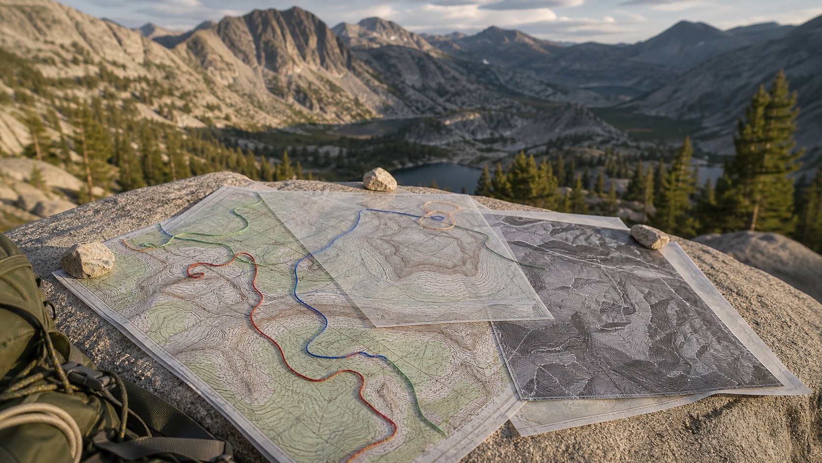
One of the greatest advantages of topo map navigation is the ability to anticipate terrain before you encounter it. By reading contour lines, you can predict steep climbs, gentle slopes, and potential obstacles. Valleys often provide easier travel but may involve water crossings, while ridges offer clearer routes but require more elevation gain. As you move, you constantly compare the map to the land around you, checking elevation changes and landforms to confirm your position. This ongoing dialogue between map and terrain keeps you oriented and reduces the risk of becoming lost.
Keeping Track of Distance and Time
Without GPS, estimating distance becomes an important skill. Using the map’s scale, you can measure distances between points and estimate how long travel will take based on terrain difficulty. Counting steps, known as pace counting, is a common method for tracking distance on foot. By knowing how many steps you take per unit of distance, you can approximate how far you have traveled. Time also becomes a navigational tool, as experienced navigators learn to correlate terrain type with average travel speed. These techniques combine to create a reliable sense of progress, even in featureless or repetitive landscapes.
Confidence, Practice, and the Freedom of Self-Reliance
Navigating with just a topo map and compass is as much a mindset as it is a skill set. It demands attention, patience, and practice, but it rewards you with independence and confidence. Each successful route reinforces your ability to read the land and trust your judgment. Over time, navigation becomes less about tools and more about awareness, as you develop an instinctive understanding of direction, distance, and terrain. In a world increasingly dependent on technology, mastering this timeless skill offers a rare sense of freedom and a deeper connection to the landscapes you explore.