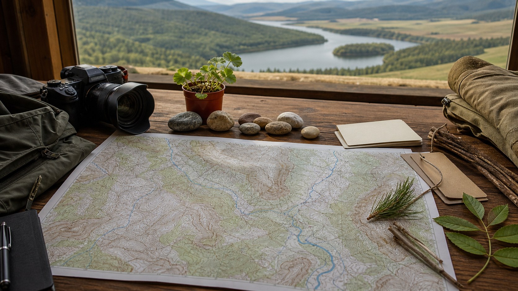
In a world dominated by smartphones, satellite imagery, and turn-by-turn navigation, it is easy to assume that traditional maps have become obsolete. The glowing blue dot on a screen feels immediate, precise, and modern. Yet despite the rapid evolution of GPS technology, 2D topographic maps remain vital tools for hikers, land managers, military planners, conservationists, engineers, and outdoor professionals. Far from being outdated relics, they provide a depth of understanding that digital navigation alone cannot replicate. A 2D topographic map does more than show where you are. It shows how the land moves. Through contour lines, elevation markers, and terrain symbols, it reveals the structure of mountains, valleys, ridges, waterways, and slopes. It transforms geography into a readable story. GPS devices tell you your coordinates. Topographic maps tell you what those coordinates mean.
Understanding Terrain, Not Just Position
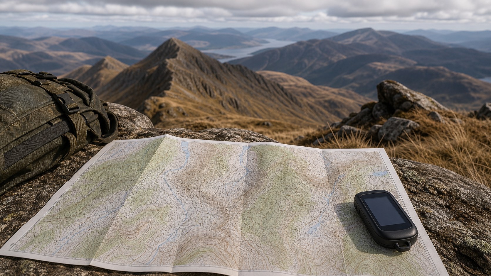
GPS technology excels at pinpointing location. With satellite triangulation, it can display your position within meters. But knowing where you stand does not automatically tell you what lies ahead. A 2D topographic map fills that gap by illustrating elevation change and terrain complexity in a way that fosters strategic awareness.
Contour lines are the backbone of this understanding. Closely spaced lines indicate steep slopes, while wider spacing reveals gradual inclines. By glancing at a topographic map, you can instantly recognize whether a trail climbs sharply or follows a gentle ridge. This kind of insight is especially important in mountainous environments such as the Rocky Mountains, where rapid elevation gain can significantly impact travel time and physical endurance.
GPS devices may show a path, but they often simplify the terrain visually. Zoom levels and screen size limit how much information can be displayed clearly. A printed 2D topographic map, however, provides a broader perspective. You can see the entire landscape at once, anticipate challenges, and plan alternate routes if needed.
This terrain awareness builds confidence. Instead of reacting to unexpected climbs or descents, you move forward with informed intention. Understanding the land, rather than simply tracking your location, makes navigation proactive instead of reactive.
Reliability When Technology Fails
One of the most compelling reasons 2D topographic maps remain vital is reliability. GPS devices depend on batteries, signal reception, and hardware durability. In extreme environments, these dependencies become vulnerabilities.
Cold temperatures can drain batteries rapidly. Dense forest canopy, deep canyons, or severe weather can interfere with satellite signals. Dropping a device on rocky terrain can render it unusable. In remote areas such as Denali National Park, losing GPS capability can quickly escalate from inconvenience to danger.
A paper topographic map, paired with a compass, does not require electricity or network connectivity. It does not freeze, crash, or require updates. As long as you can read it and protect it from excessive moisture, it remains fully functional.
Emergency preparedness professionals consistently emphasize carrying a physical map even when using digital tools. The redundancy provides a safety net. When technology falters, foundational navigation skills ensure you remain oriented and capable.
Big-Picture Planning and Route Strategy
GPS excels at guiding users along preloaded routes. However, strategic planning requires broader spatial awareness. A 2D topographic map offers that macro-level perspective.
When planning a multi-day backpacking trip, for example, you can evaluate multiple route options simultaneously. You can compare elevation profiles, identify water sources, assess ridge crossings, and anticipate potential campsite locations. This comprehensive overview is more difficult to achieve on small digital screens that require constant zooming and scrolling.
In iconic trail systems like the Pacific Crest Trail, route planning involves analyzing elevation gain over hundreds of miles. A topographic map allows you to visualize entire segments and anticipate where steep climbs or exposed ridgelines may impact your progress.
This strategic foresight also benefits land managers and environmental planners. Whether designing conservation zones or assessing watershed health, professionals rely on topographic maps to analyze terrain relationships at scale. GPS may provide data points, but topographic mapping provides structural insight.
Seeing the landscape as a whole fosters better decisions. It transforms navigation from simple movement into thoughtful planning.
Enhanced Spatial Awareness and Skill Development
There is a cognitive dimension to map reading that digital navigation often bypasses. When you interpret contour lines and align a map with your surroundings, you actively engage your spatial reasoning skills. You visualize elevation in your mind, compare terrain features, and confirm orientation through observation.
This process strengthens situational awareness. Instead of following a digital arrow, you interpret ridgelines, valleys, and drainage patterns directly. You notice how the land slopes, where water flows, and how peaks align with compass bearings.
In places like Yosemite National Park, where dramatic granite walls and deep valleys define the landscape, this awareness enhances both safety and appreciation. Recognizing a saddle before you reach it, or anticipating a switchback climb based on contour spacing, builds confidence and mastery.
Skill development is particularly important for outdoor professionals, search-and-rescue teams, and military personnel. Understanding terrain deeply can influence decision-making under pressure. A 2D topographic map trains the mind to think in elevation and distance rather than relying solely on digital prompts.
Over time, experienced map readers develop an intuitive sense of landform behavior. They can predict where trails might naturally follow contours, where water crossings may occur, and where potential hazards lie. This intuition remains valuable regardless of technological trends.
Supporting Environmental Science and Land Management
Beyond recreation, 2D topographic maps play a critical role in environmental science and land conservation. Elevation data influences water flow, erosion patterns, vegetation zones, and wildlife habitats. Professionals analyzing these factors often begin with topographic mapping.
In large river systems such as the Colorado River, watershed management depends on understanding how tributaries connect across varied terrain. Contour analysis reveals drainage basins and identifies areas vulnerable to runoff or flooding.
Forestry management also relies on slope assessment. Steep slopes may be more susceptible to erosion or wildfire spread, while flatter regions may support different vegetation densities. Topographic maps provide the structural framework for these analyses.
Urban planners use elevation data to assess flood risk and infrastructure stability. Engineers reference topographic maps when designing roads, bridges, and pipelines to ensure safe grading and drainage alignment.
Even in the GPS era, these professional applications require more than coordinates. They require an understanding of terrain relationships that only contour mapping provides clearly and efficiently.
A Tool for Education and Geographic Literacy
2D topographic maps also serve as powerful educational tools. They introduce students to geography, earth science, and spatial reasoning in tangible ways. By interpreting contour lines, learners grasp how landscapes form and evolve.
In academic settings, topographic mapping is often integrated with Geographic Information System studies, reinforcing foundational concepts before transitioning to digital analysis. Students learn that modern mapping software builds upon principles first expressed through traditional cartography.
Understanding topographic maps enhances geographic literacy. It fosters an appreciation for how mountains shape climate patterns, how valleys guide rivers, and how elevation influences ecosystems. This awareness extends beyond outdoor recreation into broader environmental understanding.
Geographic literacy becomes increasingly important as societies confront climate change, urban expansion, and resource management challenges. Reading a topographic map equips individuals with the ability to interpret terrain critically rather than passively consuming digital directions.
The Complementary Future of Maps and GPS
The debate between GPS and traditional maps often frames them as competitors. In reality, they are complementary tools. GPS provides real-time positioning and convenience. 2D topographic maps provide structural understanding and reliability.
When used together, they create a powerful navigation system. A hiker can track progress with GPS while consulting a topographic map for upcoming terrain changes. A land manager can collect field data digitally while referencing contour patterns for contextual insight.
Even as digital mapping platforms evolve, they still rely on elevation data derived from topographic principles. The visual language of contour lines persists because it communicates terrain so effectively. Technology has expanded access to mapping, but it has not replaced the fundamental need to interpret elevation.
In high-stakes environments, redundancy remains essential. Professionals continue to carry physical maps as backups. Outdoor educators continue teaching compass skills. Conservationists continue analyzing contour lines. The GPS era has enhanced navigation, but it has not rendered traditional methods obsolete.
Ultimately, 2D topographic maps endure because they cultivate understanding. They teach us to see landscapes not as flat surfaces dotted with coordinates, but as dynamic, layered systems shaped by elevation and time. They empower users to anticipate rather than react, to plan rather than simply follow.
As technology continues advancing, the quiet reliability of a well-read topographic map remains constant. It is not a relic of the past but a foundational tool for the future. In the balance between digital precision and terrain wisdom, 2D topographic maps continue to prove their vital place in modern navigation and land stewardship.