For most of history, maps were limited to the view from human eyes. Surveyors measured angles, explorers described landmarks, and cartographers stitched the data into flat depictions of the Earth. But in the 21st century, a revolution arrived: LiDAR. This technology, whose name stands for Light Detection and Ranging, uses laser pulses to measure the shape of the Earth with astonishing accuracy. Unlike traditional methods, which often approximate or generalize features, LiDAR penetrates forests, reveals hidden valleys, and creates digital 3D landscapes with centimeter-level detail. The result is a new generation of topographic maps that transform how we see, study, and navigate terrain. To understand how LiDAR creates ultra-detailed 3D topo maps, we must journey into the heart of its science, its applications, and its power to reveal landscapes as never before.
The Science of Light in Motion
LiDAR works on a simple yet profound principle: measuring distance by timing how long it takes a pulse of light to travel to an object and back. Mounted on airplanes, drones, satellites, or even vehicles, a LiDAR system emits thousands to millions of laser pulses every second. Each pulse bounces off the ground, trees, buildings, or water, and the sensor records the return time. By combining these millions of measurements with precise GPS positioning, LiDAR creates a dense “point cloud” of coordinates, each one representing a point on the Earth’s surface. Unlike photographs, which capture only what is visible, LiDAR measures three-dimensional space with mathematical precision. This ability to capture both the ground and the features above it is what makes LiDAR a game-changer for topographic mapping.
Peering Beneath the Forest Canopy
One of LiDAR’s most remarkable qualities is its ability to see through dense vegetation. Traditional aerial photography often struggles to capture terrain beneath thick forests, but LiDAR pulses behave differently. Some beams bounce off the canopy, while others filter through gaps in leaves and branches to strike the ground below. The sensor records multiple returns from a single pulse, distinguishing between treetops, understory, and soil. When processed, these multiple returns allow cartographers to strip away vegetation digitally, revealing the hidden terrain beneath. Archaeologists use this to uncover ancient roads, pyramids, and settlements buried in jungles. Foresters map tree heights, canopy density, and biomass. For topographers, it means maps that don’t just sketch the land’s surface but capture its true underlying form, even in environments where visibility is almost impossible.
Building the Ultra-Detailed 3D Map
Turning raw LiDAR point clouds into a usable 3D topo map involves careful processing. First, technicians classify millions or billions of points, separating ground reflections from trees, buildings, and water. Advanced algorithms then create a Digital Elevation Model (DEM), a surface that represents the bare Earth stripped of structures and vegetation. For different applications, variations of DEMs emerge: Digital Surface Models (DSMs) that include all features above ground, or Canopy Height Models (CHMs) that measure vegetation layers. When rendered visually, these datasets transform into ultra-detailed 3D maps where every ridge, gully, and depression is visible. Hillshading techniques enhance the sense of depth, while color gradients bring out subtle variations in elevation. The final result is a topographic map that captures landscapes with unmatched resolution and clarity, often revealing features too subtle to detect by eye.
Applications That Redefine Exploration
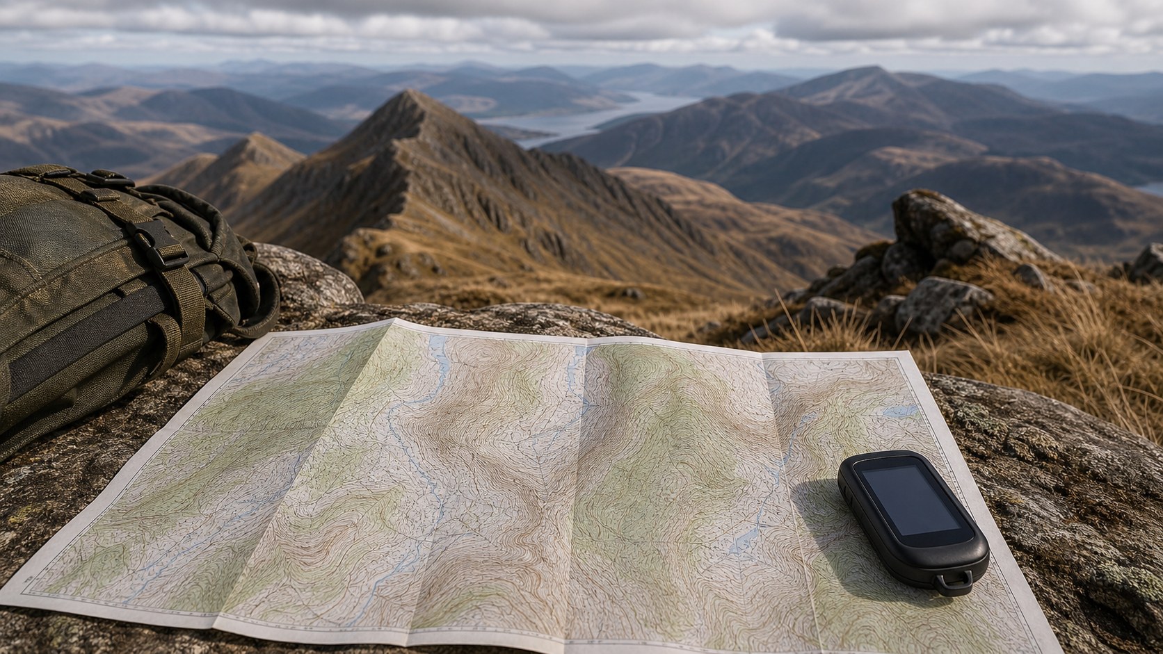
The uses of LiDAR-based topographic maps are as vast as the landscapes they depict. Scientists rely on LiDAR to model watersheds, study erosion patterns, and monitor flood risks with extraordinary accuracy. Urban planners and engineers use it to design roads, bridges, and drainage systems that respond precisely to terrain. Environmentalists map wetlands, forests, and habitats, ensuring development aligns with ecological realities. Archaeologists have discovered lost civilizations in Central America, their temples and plazas hidden beneath jungle canopies but revealed by LiDAR’s penetrating beams. Even in disaster response, LiDAR proves invaluable, helping emergency teams assess landslides, earthquakes, or wildfire impacts quickly. For adventurers, LiDAR-based topo maps offer a new level of detail for hiking, mountaineering, or exploring remote areas. These applications show that ultra-detailed 3D maps are not just technical achievements but essential tools for shaping the future.
LiDAR Versus Traditional Mapping Methods
To appreciate LiDAR’s impact, it helps to compare it with older mapping methods. Photogrammetry, for example, uses overlapping photographs to calculate elevation, but it struggles in areas with uniform surfaces or dense vegetation. Ground surveys provide high accuracy but are time-consuming and limited in coverage. Satellite imagery can capture global scales but often lacks fine resolution. LiDAR bridges these gaps by combining wide coverage with high precision. An aircraft-mounted system can scan hundreds of square miles in days, generating maps accurate to a few centimeters. The sheer density of LiDAR point clouds ensures that even small gullies or mounds are recorded. Yet LiDAR is not without challenges—it requires specialized equipment, significant processing power, and can be costly. Still, for projects demanding the highest level of detail, it has become the gold standard.
The Future of LiDAR Topographic Mapping
LiDAR is evolving rapidly, and its future promises even greater possibilities for 3D mapping. Miniaturized sensors are making their way onto drones, reducing costs and expanding access. Self-driving cars are pushing the technology forward, spurring innovations in real-time processing and compact sensors. Space agencies are developing satellite-based LiDAR missions capable of scanning entire continents, delivering elevation data with global consistency. Advances in machine learning are automating the classification of LiDAR point clouds, accelerating the transformation from raw data to finished maps. Combined with virtual reality and augmented reality, these maps may soon allow users to step directly into 3D representations of terrain, navigating landscapes from their living rooms. The evolution of LiDAR ensures that ultra-detailed topographic maps will not only become more accurate but also more immersive and accessible to everyone.
A New Dimension in Understanding Landscapes
LiDAR has redefined what it means to map the Earth. By replacing approximations with precision and offering a view beneath the visible, it has opened a new dimension in cartography. Ultra-detailed 3D topographic maps are no longer just reference tools but windows into the hidden stories of terrain, ecology, and human history. They help us prepare for natural hazards, protect ecosystems, uncover ancient civilizations, and explore landscapes with clarity once thought impossible. While challenges of cost, complexity, and processing remain, the trajectory of technology points to a future where LiDAR-based mapping becomes standard. In this light, LiDAR is more than just a tool—it is a revolution in how we perceive and interact with the world around us. By capturing landscapes in beams of light, it allows us to read the Earth in ways that are both scientific and profoundly human.