Top 10 Ways to Use a 2D Topographic Map Beyond Hiking
A clear, practical guide to top 10 ways to use a 2d topographic map beyond hiking, with terrain-reading tips, map clues, and real-world planning advice for Topo Streets readers.

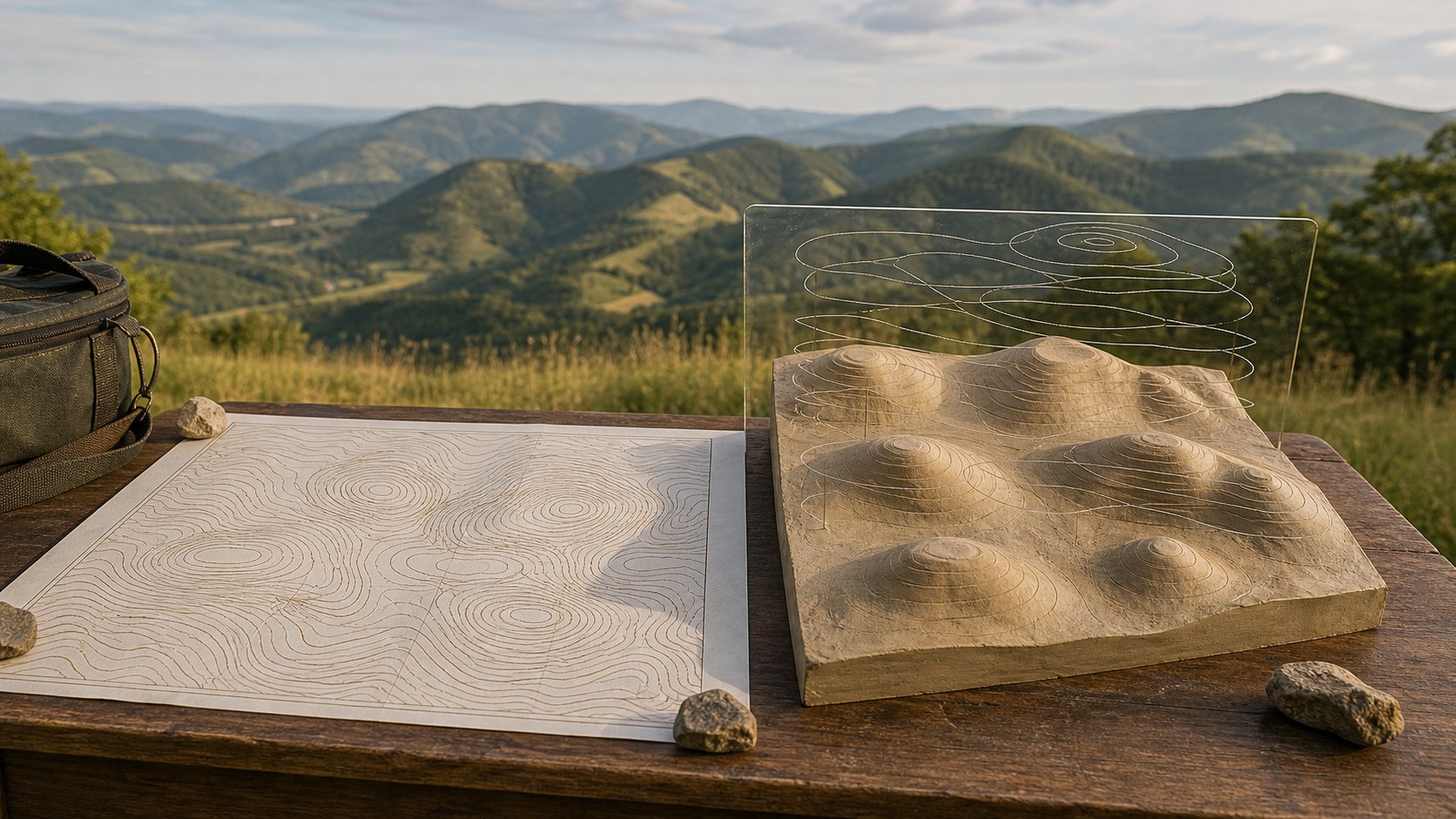
Bringing Topography to Life in 3D
A clear, practical guide to top 10 ways to use a 2d topographic map beyond hiking, with terrain-reading tips, map clues, and real-world planning advice for Topo Streets readers.
A clear, practical guide to the science behind contour lines, with terrain-reading tips, map clues, and real-world planning advice for Topo Streets readers.
A clear, practical guide to advanced map reading techniques for outdoor enthusiasts, with terrain-reading tips, map clues, and real-world planning advice for Topo Streets readers.
A clear, practical guide to how to spot potential hazards on a topographic map, with terrain-reading tips, map clues, and real-world planning advice for Topo Streets readers.
A clear, practical guide to top 10 oldest u.s. 2d topographic maps still in use, with terrain-reading tips, map clues, and real-world planning advice for Topo Streets readers.
A clear, practical guide to how to understand contour intervals, with terrain-reading tips, map clues, and real-world planning advice for Topo Streets readers.
A clear, practical guide to best apps for downloading 2d topographic maps, with terrain-reading tips, map clues, and real-world planning advice for Topo Streets readers.
Discover the power of 2D topographic maps—your gateway to reading the land. From contour lines to map scales, this beginner’s guide will teach you how to unlock the terrain’s hidden stories and navigate with confidence, whether you’re hiking, exploring, or planning your next adventure!
Looking for free 2D topographic maps? This guide reveals the top 10 best sources to download, print, or use offline. Perfect for hikers, explorers, and map lovers ready to navigate terrain with confidence!
Ever wondered why experienced hikers still rely on topographic maps in a GPS-driven world? This guide explores how these detailed maps enhance navigation, improve safety, and deepen your connection to the terrain. From reading elevation changes to planning smarter routes, you’ll discover why a topo map is one of the most powerful tools you can carry on any hiking adventure.
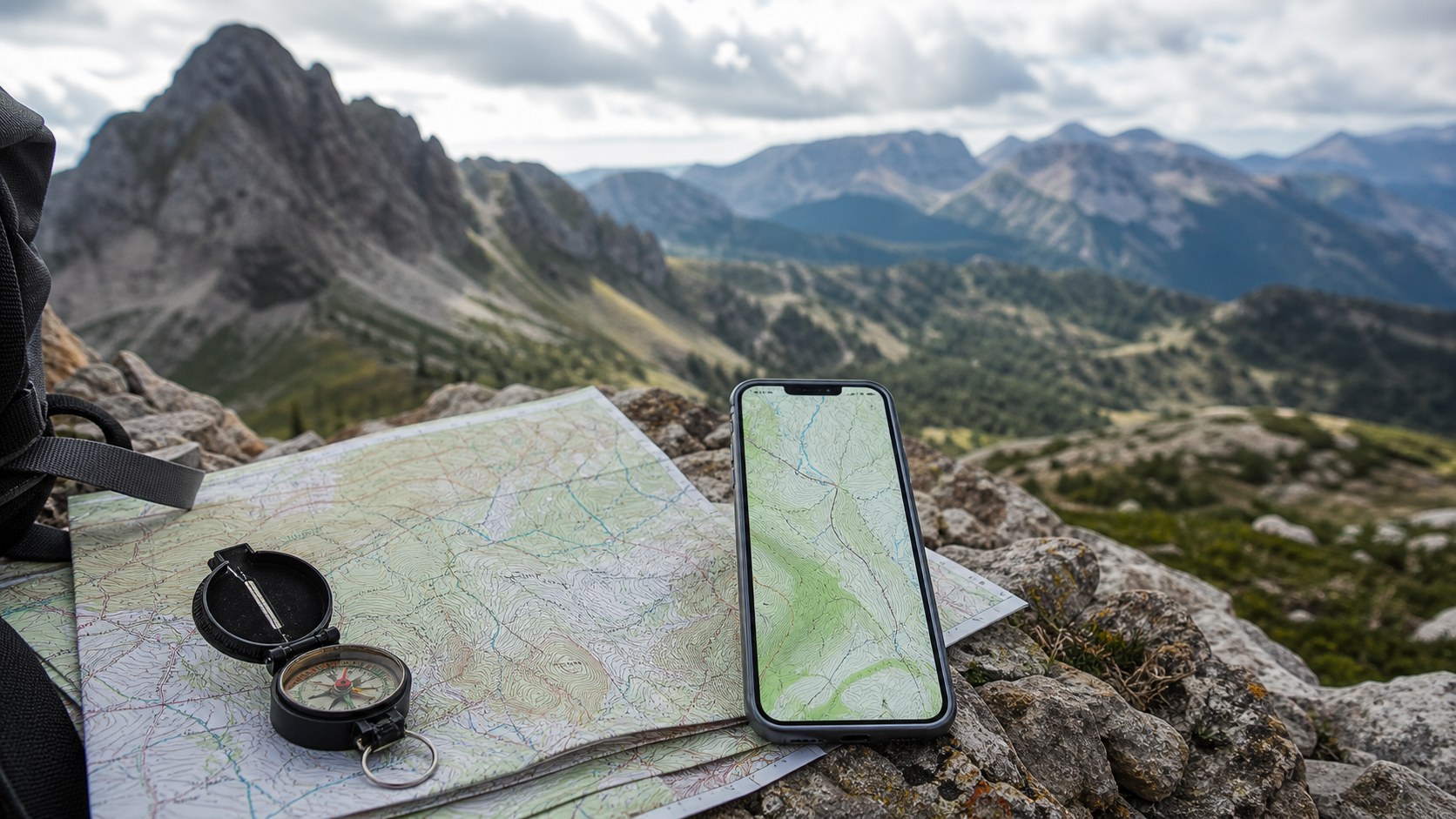
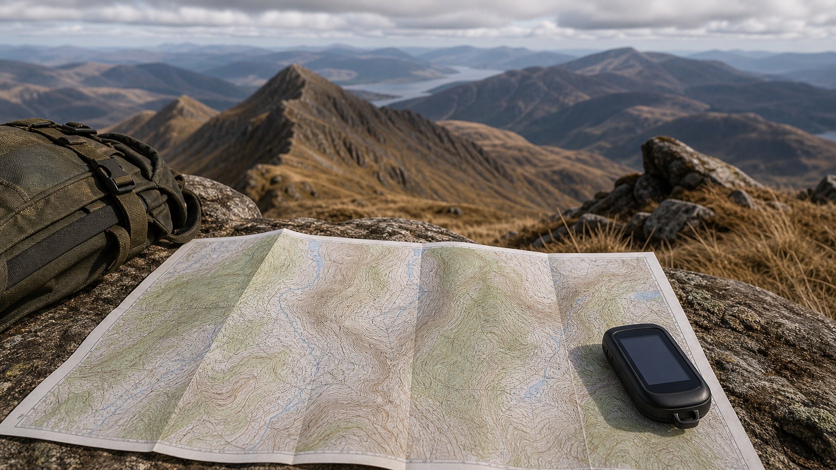
Is GPS enough for modern navigation? Discover why 2D topographic maps still matter in the GPS era. From terrain awareness and route planning to reliability in remote environments, traditional contour maps provide critical context that digital navigation alone cannot match, making them essential for hikers, professionals, and land managers alike.
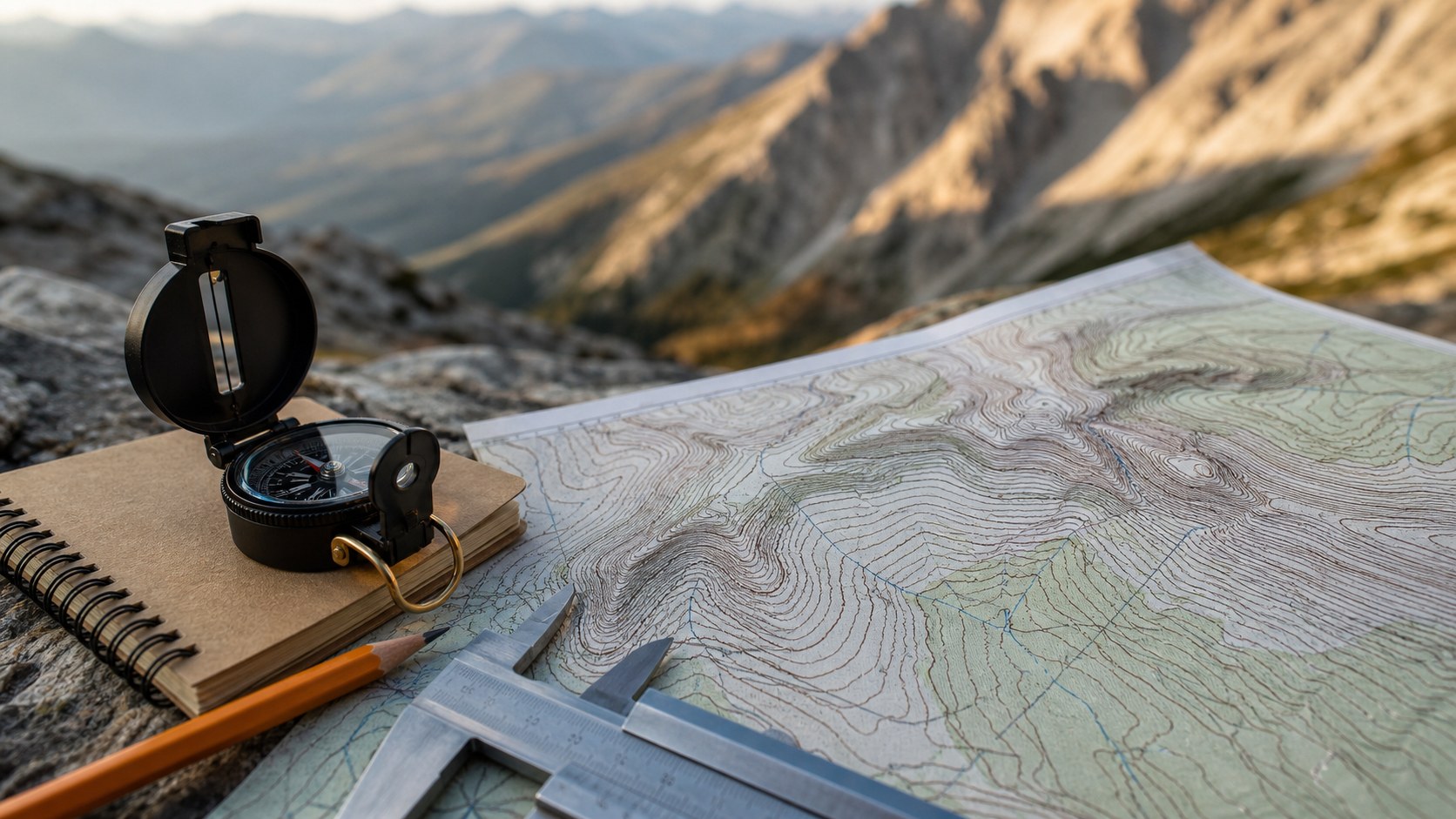
Want to navigate trails with confidence instead of guesswork? Discover how to track trails using topographic maps by reading contour lines, measuring elevation gain, identifying landmarks, and aligning your map with a compass. This guide shows how terrain awareness improves safety, planning, and backcountry navigation skills in any landscape.