There’s a quiet confidence that comes with holding a topographic map in your hands. While GPS devices and smartphone apps promise convenience, they often hide the deeper story of the land beneath you. A topographic map does the opposite—it reveals everything. Every ridge, valley, saddle, and waterway is laid out in a language that, once understood, transforms the way you experience the outdoors. For hikers, this isn’t just about navigation. It’s about awareness, preparation, and connection. Modern hiking culture has leaned heavily into digital tools, but the reliability and depth of a topographic map remain unmatched. It doesn’t depend on batteries, signal strength, or software updates. Instead, it provides a permanent, highly detailed view of the terrain that allows hikers to make smarter decisions, anticipate challenges, and move with purpose. Whether you’re trekking through dense forests, climbing alpine passes, or exploring remote backcountry routes, a topographic map becomes more than a tool—it becomes a trusted companion.
Reading the Landscape Before You Step Into It
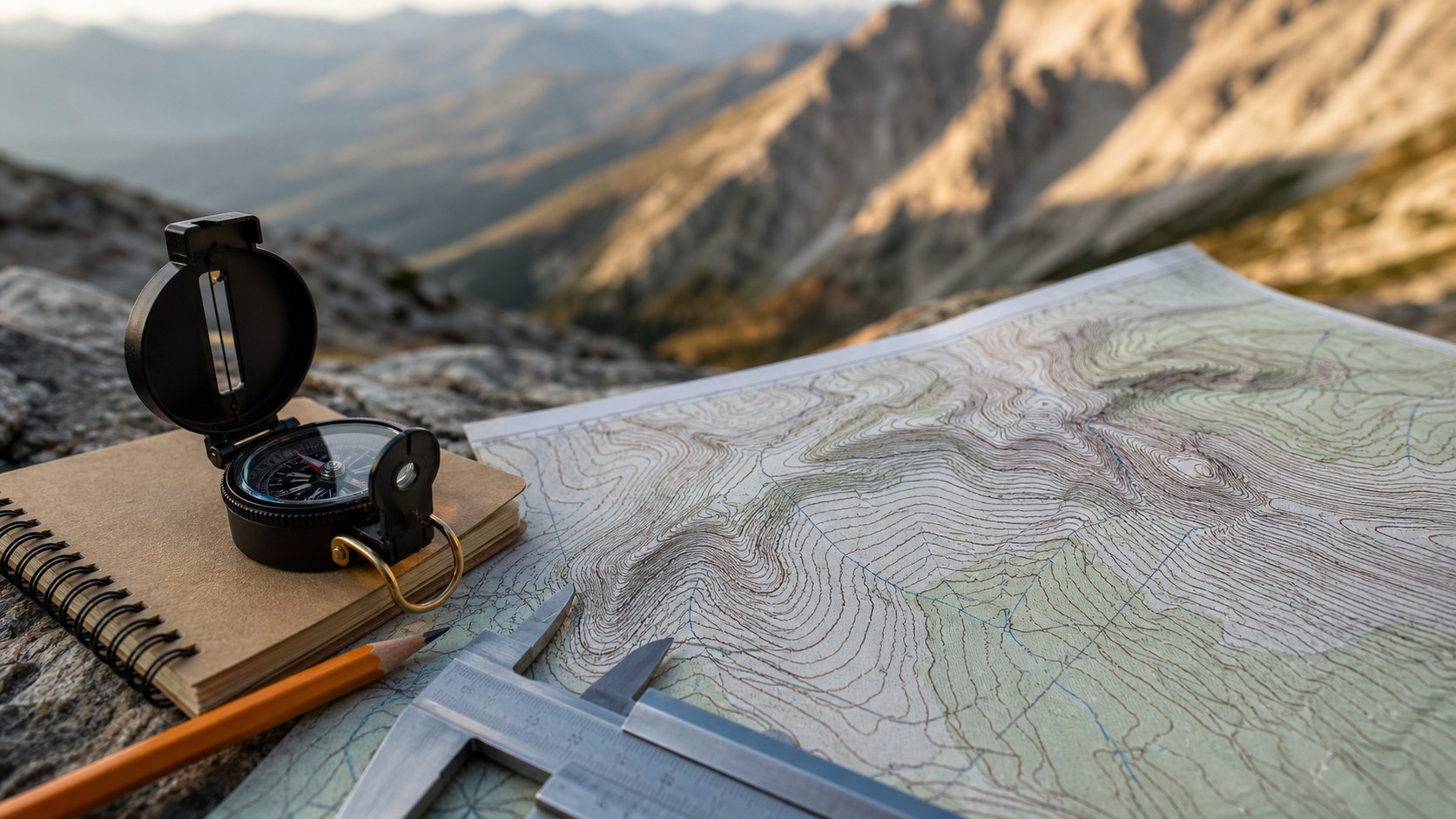
A topographic map allows you to visualize the terrain before you ever take your first step. Through contour lines, it communicates elevation changes in a way that’s both precise and intuitive. Closely spaced lines indicate steep climbs, while wider spacing suggests gradual slopes. This simple visual language gives hikers the ability to mentally walk the trail in advance.
Understanding this terrain preview changes everything. Instead of reacting to the landscape as it unfolds, you move through it with foresight. You know where the difficult ascents are, where you might find natural rest points, and where potential hazards may exist. Valleys, ridgelines, and water crossings become predictable rather than surprising.
This kind of preparation is especially valuable in unfamiliar environments. A dense forest might obscure your view, and weather conditions can shift quickly in mountainous areas. But a topographic map cuts through those uncertainties. It shows you what lies ahead, even when your eyes cannot.
Navigational Independence in a Digital World
One of the most compelling reasons every hiker should carry a topographic map is the independence it provides. Technology can fail, often at the worst possible moments. Batteries die, screens crack, and signals disappear. In remote wilderness areas, these failures aren’t rare—they’re expected.
A topographic map doesn’t rely on any external system. Paired with a compass, it offers a complete navigation solution that works anywhere on Earth. This self-sufficiency is empowering. It allows hikers to venture further, explore more confidently, and adapt to changing conditions without fear of losing their way.
Beyond practicality, there’s a deeper benefit. Navigating with a map sharpens your awareness and engages your mind. You become an active participant in your journey rather than a passive follower of a digital route. Every decision becomes intentional, every turn meaningful.
Unlocking Hidden Routes and Off-Trail Exploration
Marked trails are only a fraction of what the wilderness has to offer. A topographic map opens the door to exploration beyond the beaten path. It reveals natural corridors, gentle slopes, and hidden valleys that may not appear on standard trail maps or apps.
For adventurous hikers, this is where the real magic begins. You can design your own routes, linking ridgelines, following watercourses, or navigating through terrain that others rarely visit. The map becomes a creative tool, allowing you to shape your journey based on curiosity and skill rather than predefined paths.
Of course, off-trail exploration requires caution and experience. But with a topographic map, you gain the ability to assess terrain realistically. You can identify potential obstacles, evaluate elevation gain, and choose routes that match your abilities. This level of control turns exploration into a calculated and rewarding experience.
Safety Through Situational Awareness
Safety in the outdoors is often about anticipation. A topographic map enhances your situational awareness by providing a comprehensive view of your surroundings. It highlights features that could pose risks, such as steep cliffs, narrow ridges, or fast-moving rivers.
This awareness allows you to plan safer routes and make informed decisions in real time. If weather conditions change, you can identify lower elevation areas or sheltered valleys to seek refuge. If you need to exit quickly, the map helps you locate the most efficient escape routes.
In emergency situations, this knowledge becomes invaluable. Being able to communicate your location, understand your surroundings, and navigate to safety can make a critical difference. A topographic map doesn’t just guide you—it helps protect you.
Building a Deeper Connection to the Land
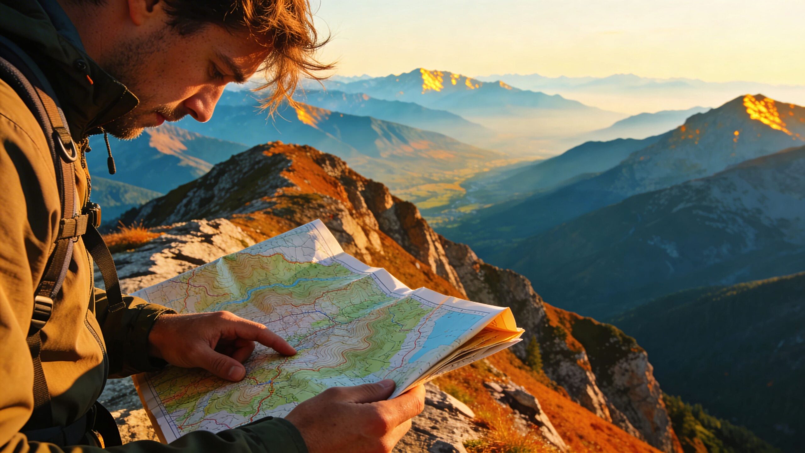
There’s something uniquely immersive about navigating with a topographic map. It encourages you to engage with the landscape on a deeper level. Instead of simply following a trail, you begin to understand the shape and structure of the land.
You notice how ridges guide water flow, how valleys carve pathways through mountains, and how elevation influences vegetation and climate. The map becomes a lens through which you interpret the environment, enriching your experience with every step.
This connection fosters a greater appreciation for the natural world. It transforms hiking from a physical activity into an intellectual and emotional journey. You’re not just moving through the landscape—you’re reading it, understanding it, and becoming part of it.
A Timeless Skill That Elevates Every Adventure
Learning to use a topographic map is a skill that pays dividends across every outdoor adventure. It’s timeless, transferable, and deeply empowering. Whether you’re hiking, backpacking, mountaineering, or even trail running, the ability to read and interpret terrain enhances your capabilities.
Unlike many modern tools, this skill doesn’t become obsolete. It remains relevant regardless of technological advancements. In fact, as reliance on digital navigation grows, the value of traditional map skills becomes even more pronounced.
For beginners, the learning curve may seem intimidating at first. But with practice, the patterns of contour lines and symbols become second nature. What once appeared complex becomes intuitive, and the map transforms from a confusing diagram into a powerful guide.
The Essential Companion for Every Journey
In a world increasingly defined by convenience and automation, the topographic map stands as a reminder of the value of self-reliance and understanding. It offers clarity where technology can falter, insight where intuition alone may fail, and a sense of control that elevates every outdoor experience. Carrying a topographic map is not about rejecting modern tools—it’s about enhancing them. It’s about ensuring that no matter what happens, you remain connected to the land and capable of navigating it with confidence. For every hiker, from weekend explorers to seasoned adventurers, the topographic map is more than an accessory. It is a foundation. It is a skill. And ultimately, it is a gateway to deeper, safer, and more meaningful journeys through the natural world.